“Travelling to remote places is a great de-tox ! ” – birdingjo
I consider myself fortunate for multiple opportunities to have travelled and lived in this unique area called Ladakh and I always wanted to show it to my better half, Pushpinder aka Pusha.
Incidentally, Ladakh, for un-initiated is now a Union Territory of India and has the distinction of sharing its borders with Pakistan and China. Not hard to guess that it is situated in the Northern tip of India on the Western India. Prior to 31 Oct 2019 (exactly five years from the time of writing this blog), Ladakh was part of the state of Jammu and Kashmir.

La-dakh in local language translates to ‘land of thousand passes’. The remoteness and harsh weather conditions aptly are best described by an old ladakhi saying “The land is so inhospitable that only best of friends and worst of enemies visit us”.
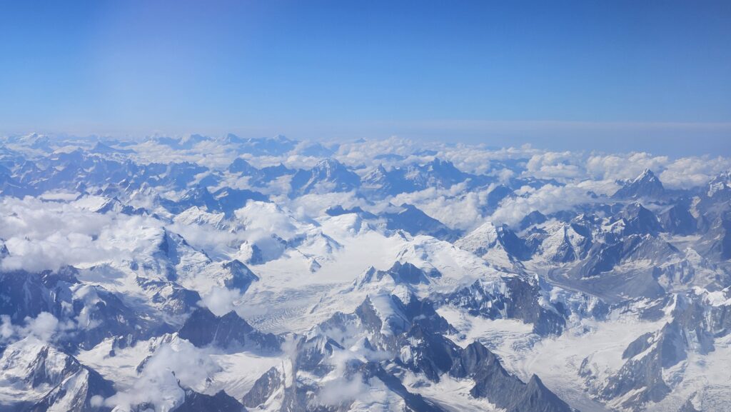
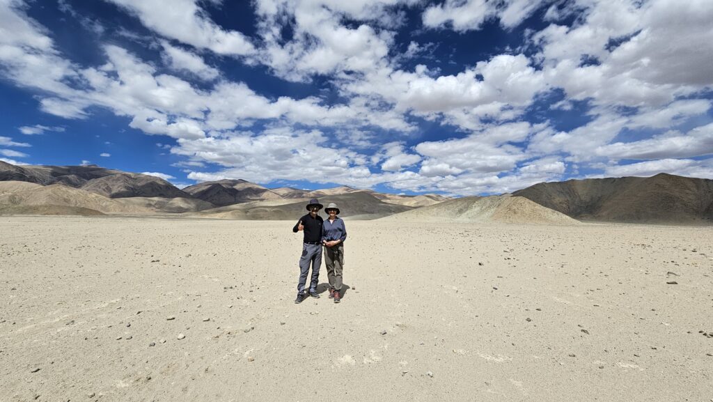
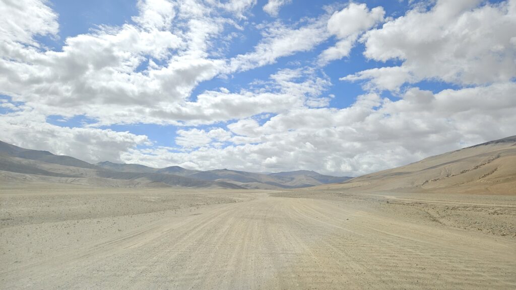
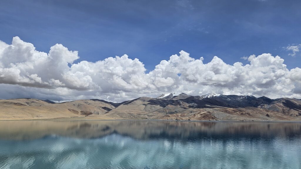
Day 1
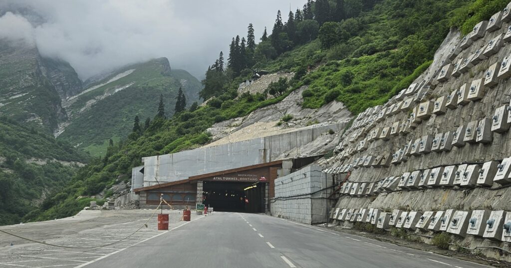
Started from Chandigarh – Kullu – Manali – Atal Tunnel (to bypass Rohtang Pass) – Keylong – Jispa. Kullu and Manali were surprisingly quite quiet. When we asked, where are the tourists and crazy traffic, we learnt that there was a ‘Yellow’ Alert by the government of Himachal about the possble landslides / flashfloods keeping in view what had happened in July 2023. Luckily, we made through to Jispa without any trouble.
It was heartening to see the set of tunnels including the state of the art 9 km long Atal Tunnel by-passing the Rohtang pass and making it possible to reach Jispa in one day from Chandigarh.
Day 2 & 3 – Stay at Ghemoor Khar, Jispa, District Lahol & Spiti, Himachal Pradesh.
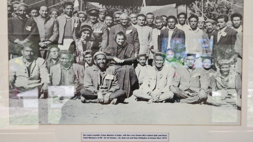
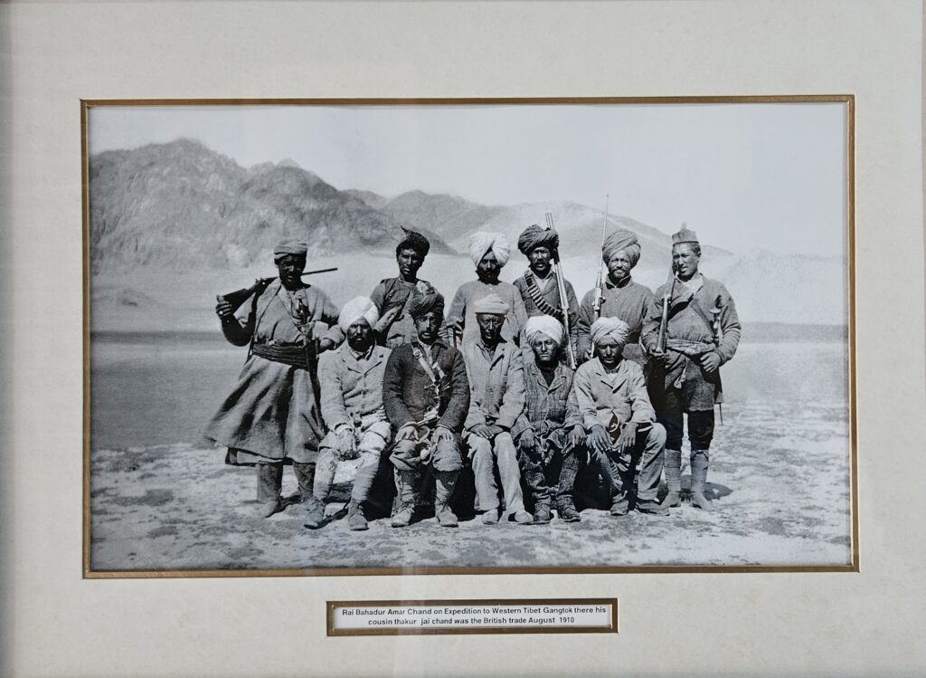
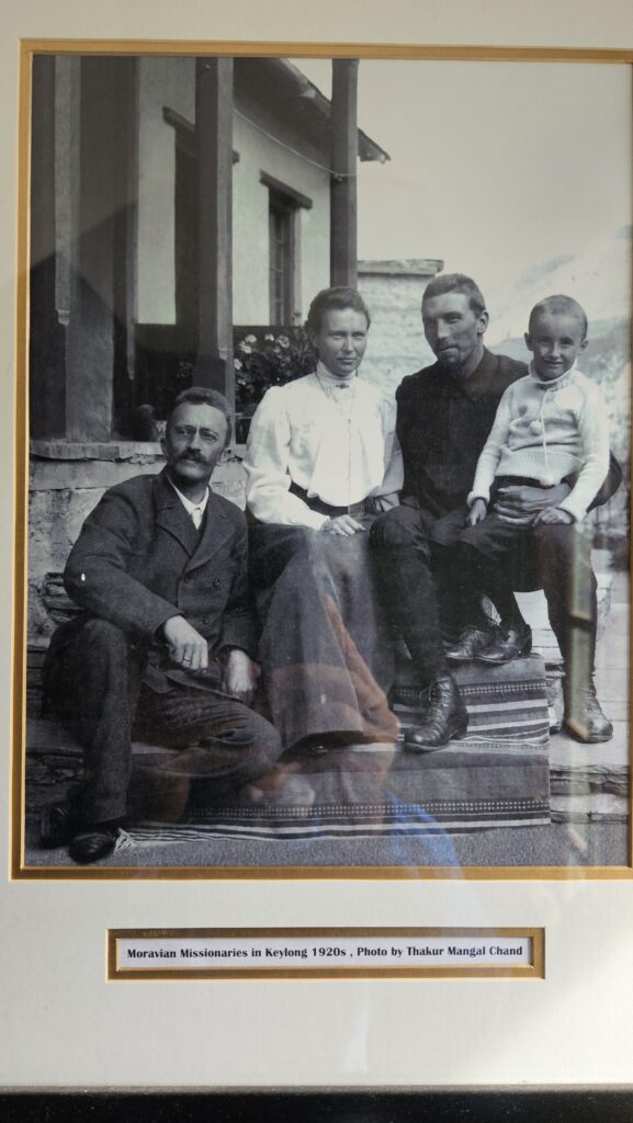
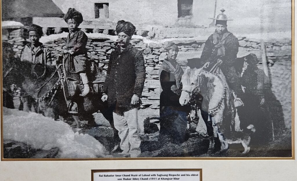
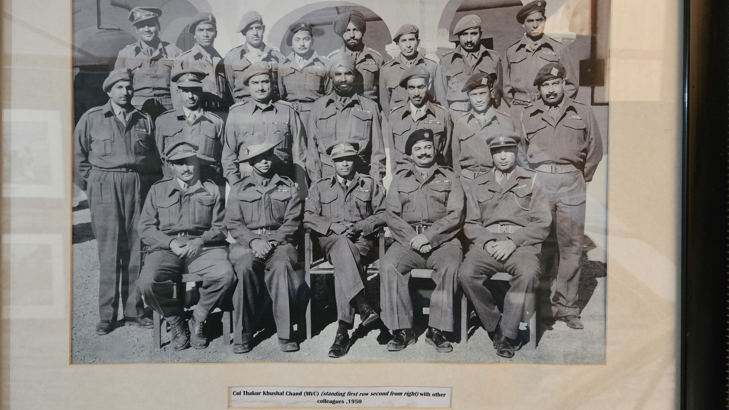
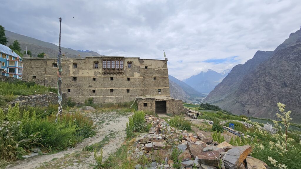
We were fortunate to have booked Ghemoor Khar, which happen to belong to a prominent local family with a rich history. Posting some pictures of the past which Ghemur Khar has witnessed about 100 years ago.
Day 4: Jispa – Pang – More Plains – Tanglang La – Leh
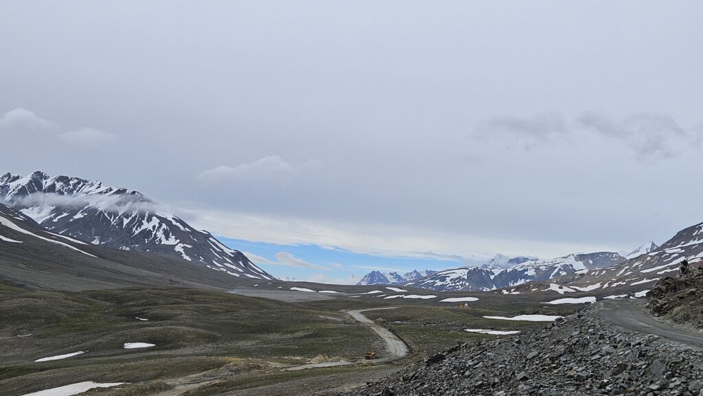
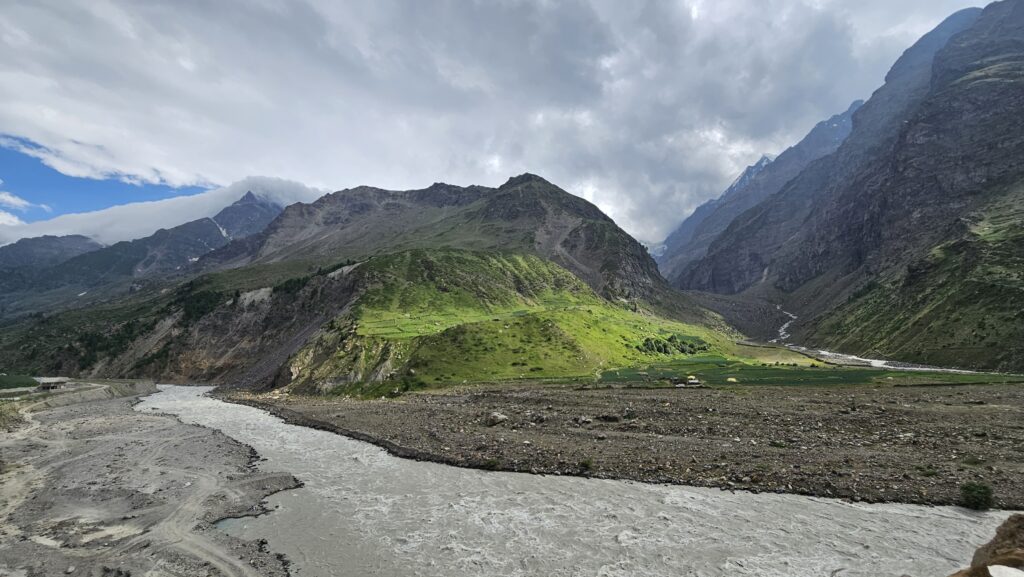
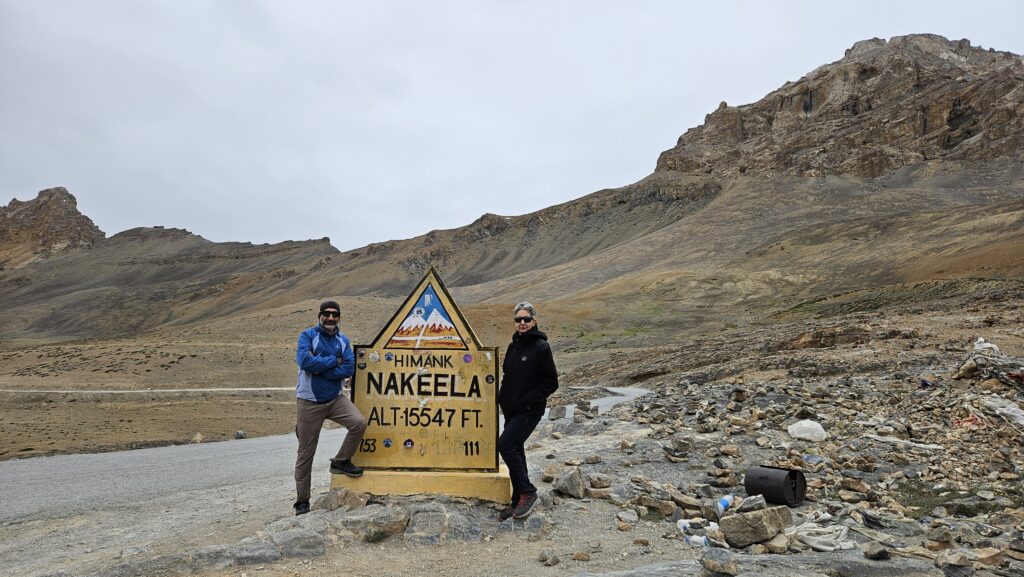
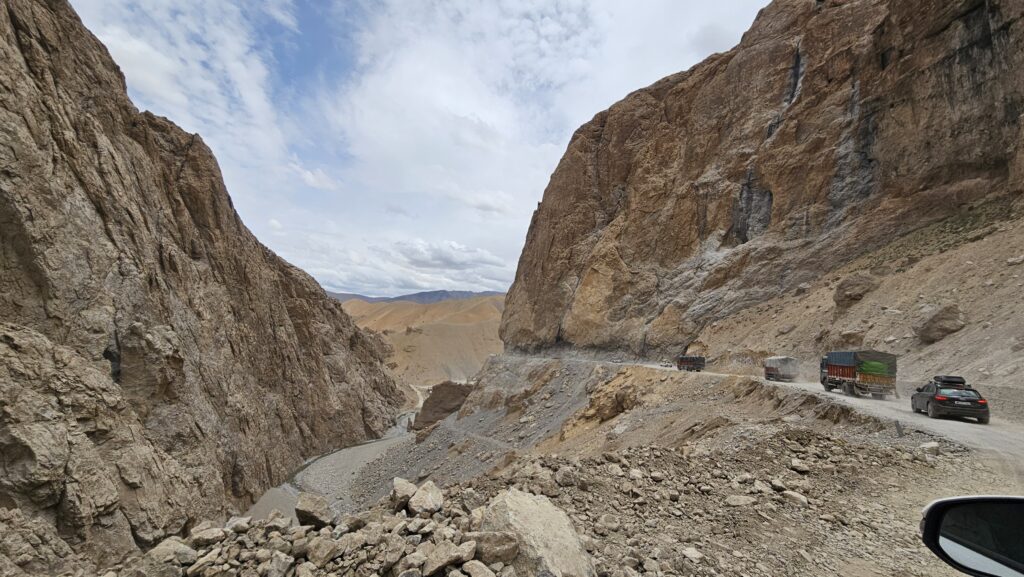
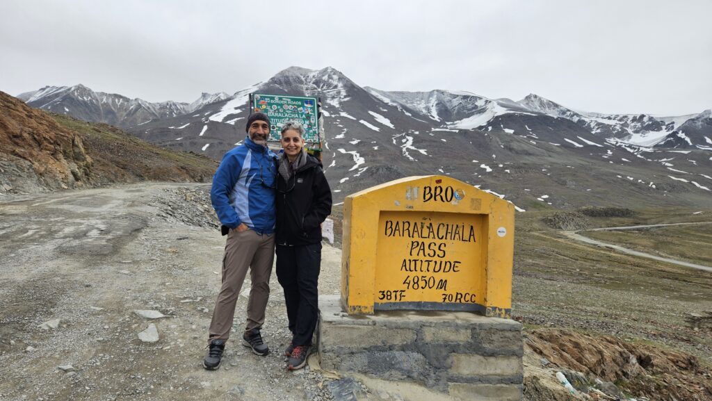
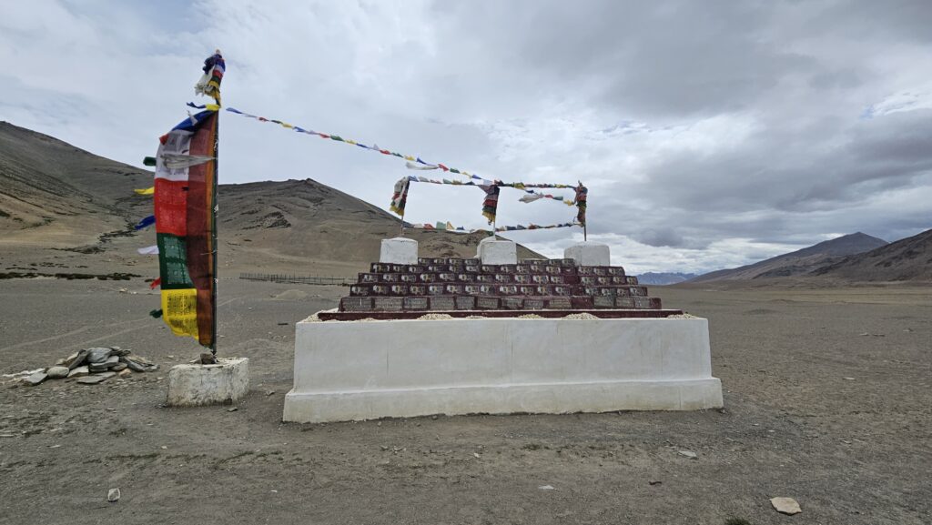
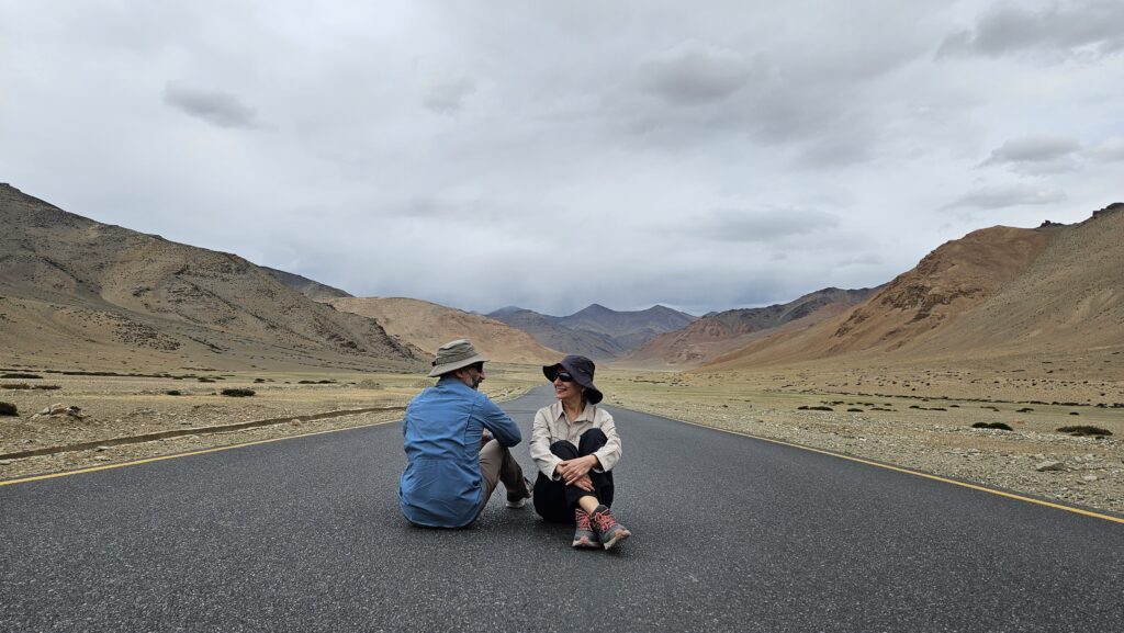
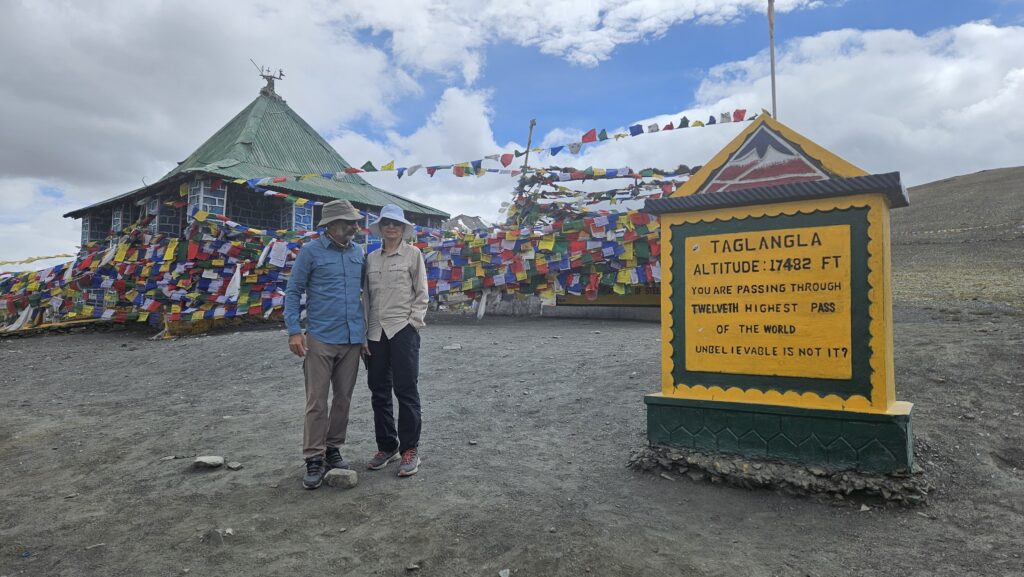
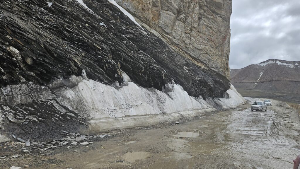
Day 3 was a long drive of about 10 – 11 hours to cover a distance of approximately 380 kms. Some may wonder, why so much time for this distance, well, this route is at many places still a dirt or gravel track, precarious and challenging hill side cuttings and goes up through at least 5 passes which are above 15000 feet. Tanglang La being the highest enroute is at 17,482 feet.
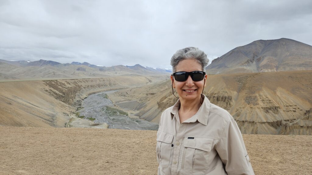
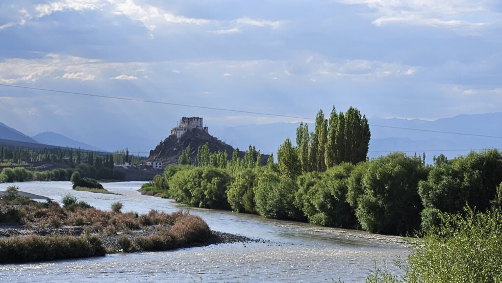
In addition, one is bound to have multiple stops to admire and capture the beautiful and everchanging landscapes. Here are a few glimpses of the route.
Day 5 & 6 : Stay at Leh
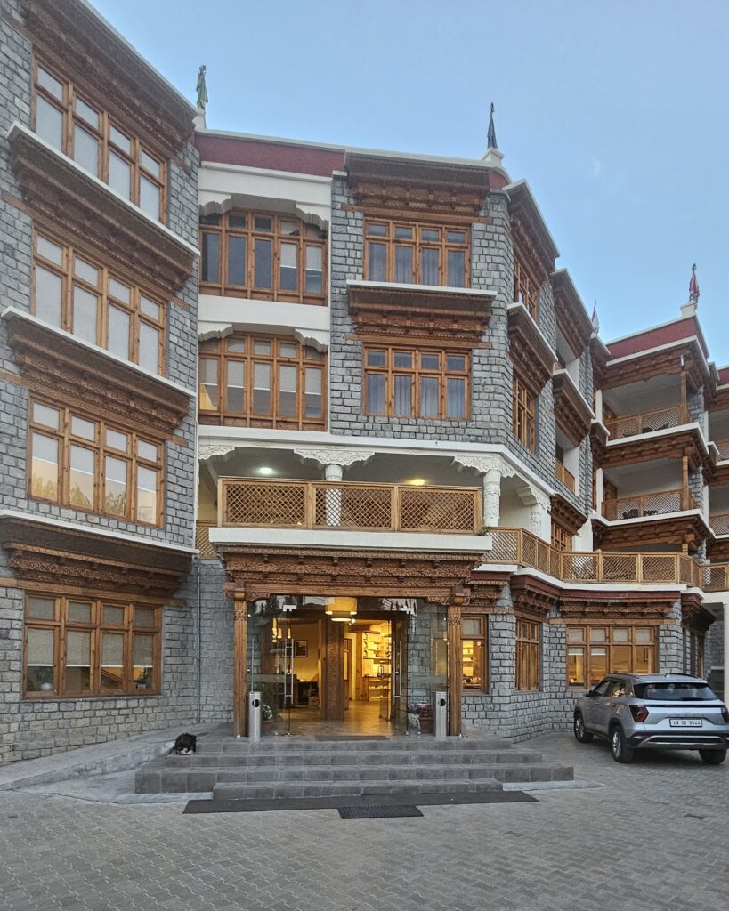
Well, after going through multiple ups (17000 feet) and downs (10000 feet) on the road to Leh, it makes perfect sense to spend a day or two to acclimatise the body in this high altitude areas. Hence, we enjoyed our stay at lovely Ladakh Residency hotel, personally looked after by the gracious owner Mr. Wangchuk.
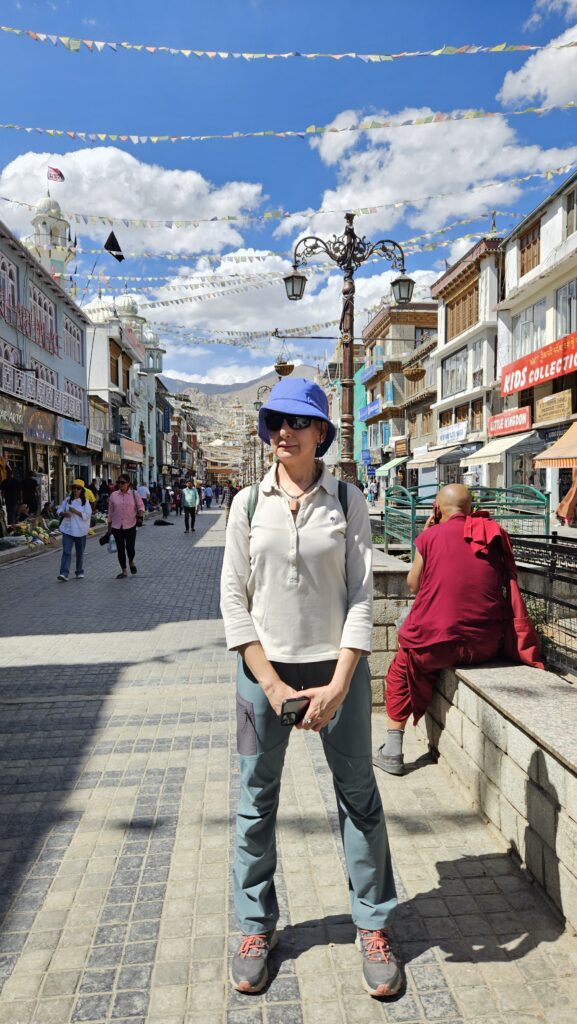
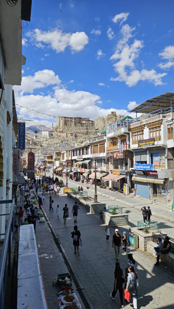
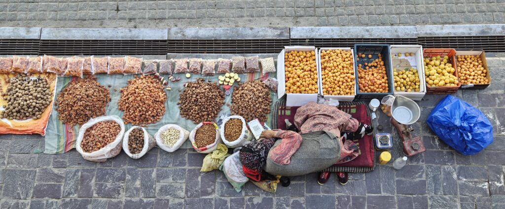
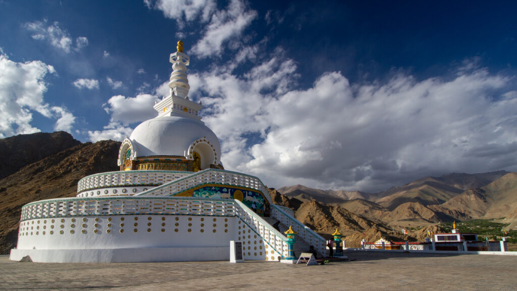
We took strolls to the Leh market and the magnificent Shanti Stupa overlooking the entire Leh Valley.
Day 7: Leh – Chang La – Pangong Tso
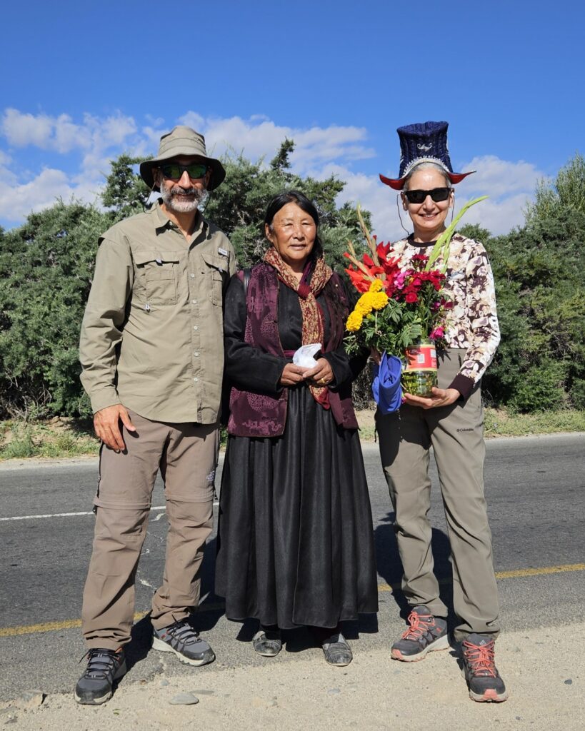
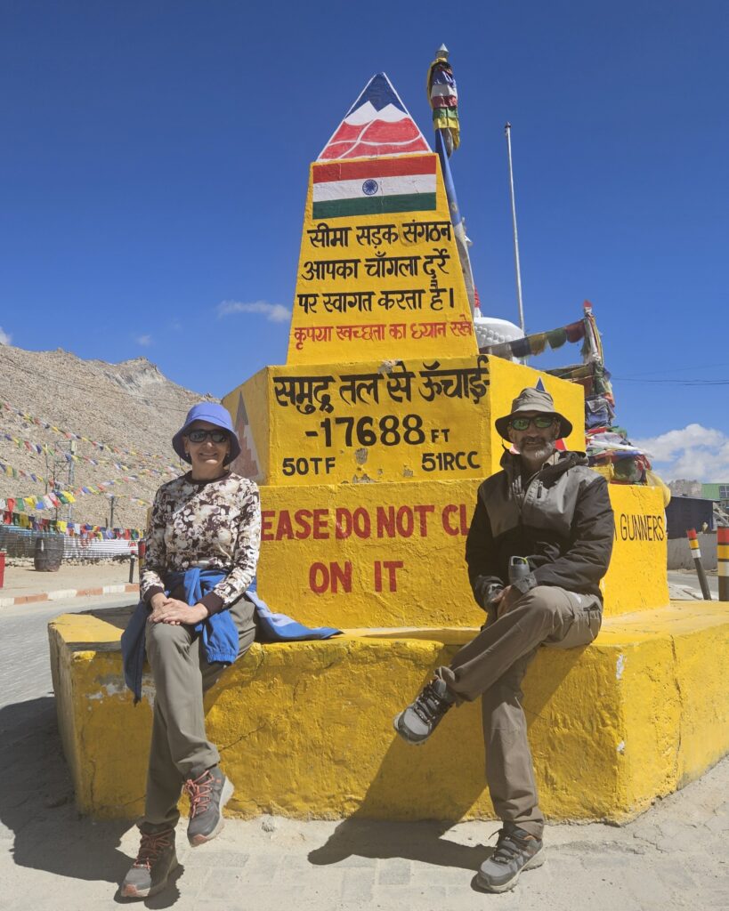
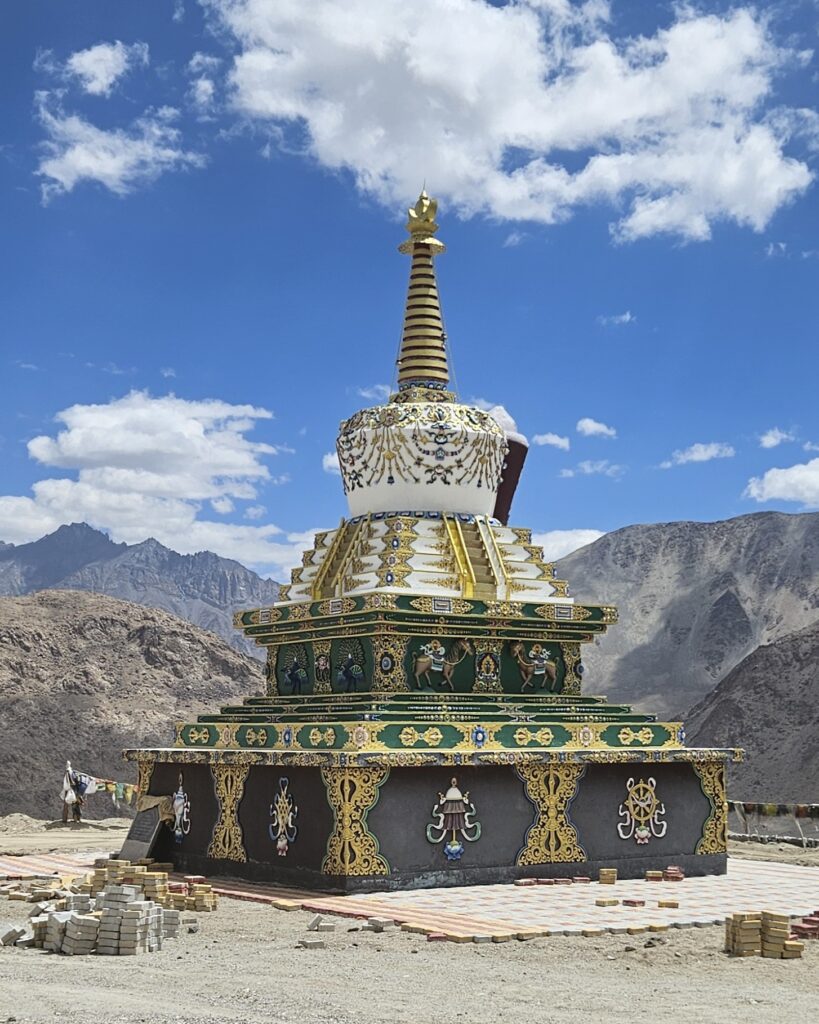
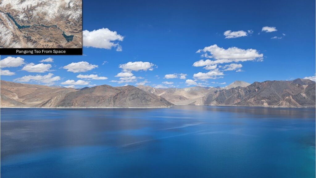
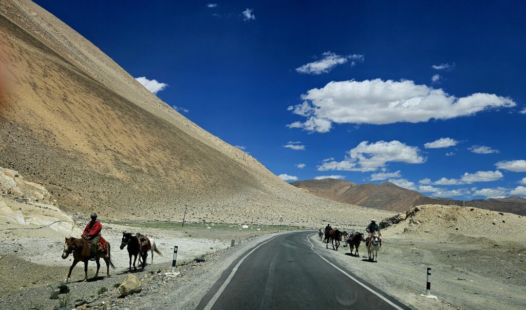
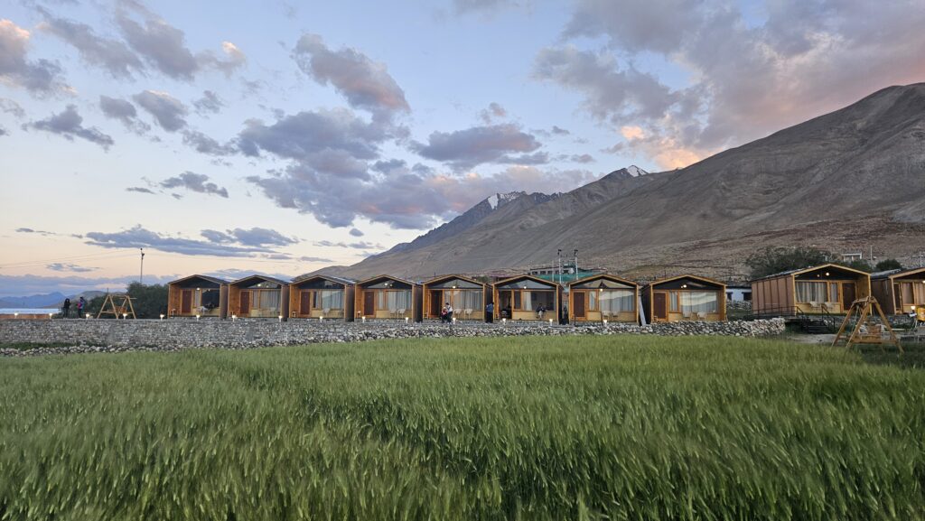
We headed out to the most iconic lakes in the are i.e., Pangong Tso and we were to go through Chang La, which is the third highest motorable pass at 17,688 feet.
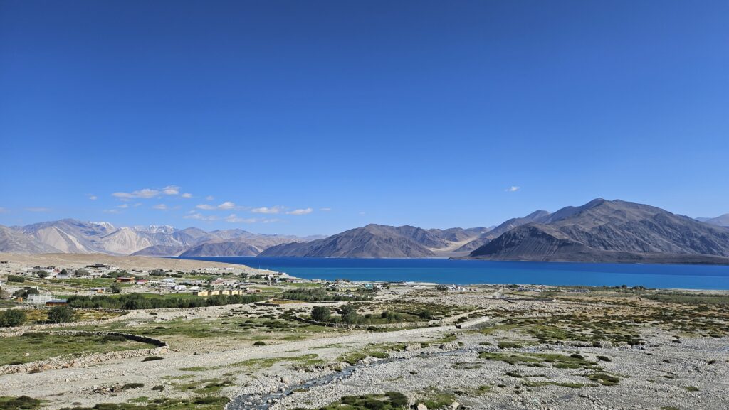
Day 7: Pangong Tso to Hanle
The route goes along mostly dirt track on the banks of Pansong Tso and then via Chushul village – a site of historical importance from the 1962 war between India and China.
It was a privilege to be able to visit the War Memorial for Rezang La in the Chushul Valley. The Memorial honours the 114 Indian soldiers of the ‘C’ Company (a.k.a. Ahir Company) of 13th Kumaon who died defending their position while inflicting 1300 casualties on the Chinese.
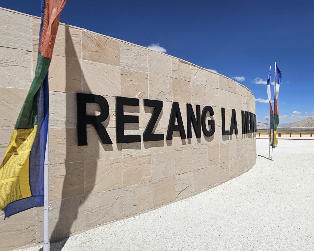
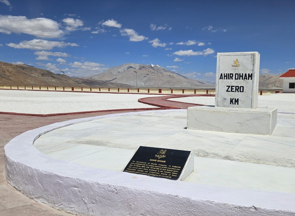
After crossing Chushul, one reached Dungti area, where the Indus river takes a westerly turn and heads along the valley to Leh. It is here that the road diverges along the Hanle river valley towards the Hanle village.
Days 8, 9 & 10: In and Around Hanle
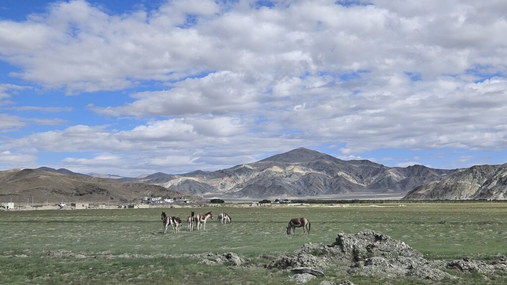
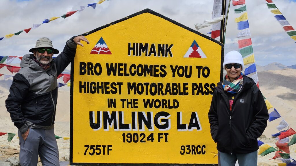
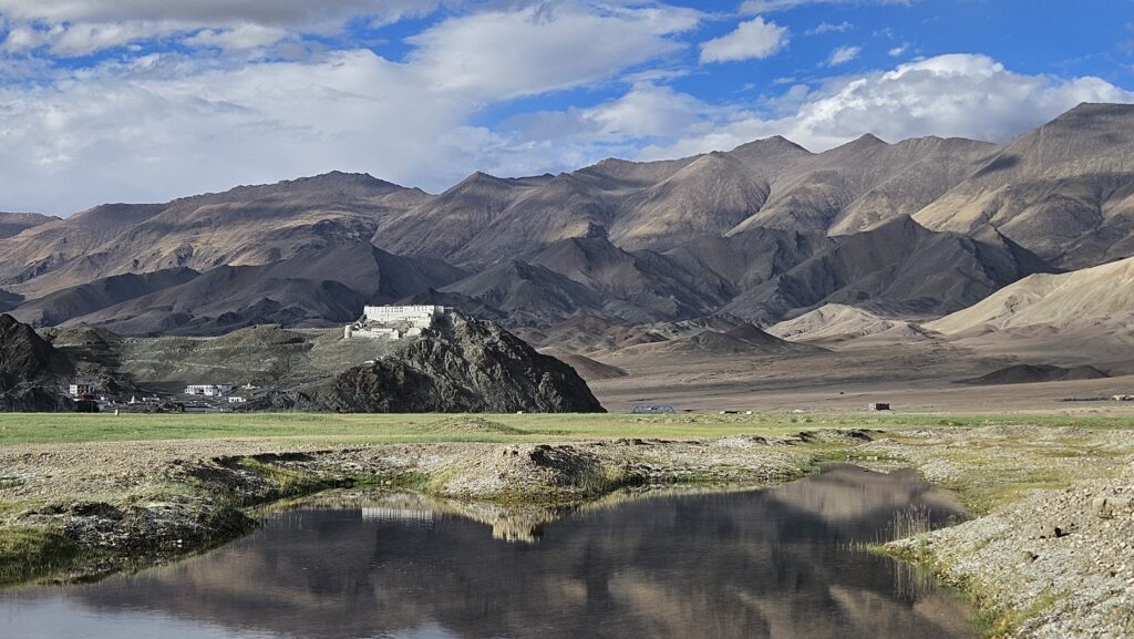
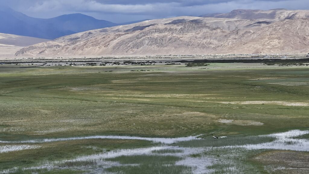
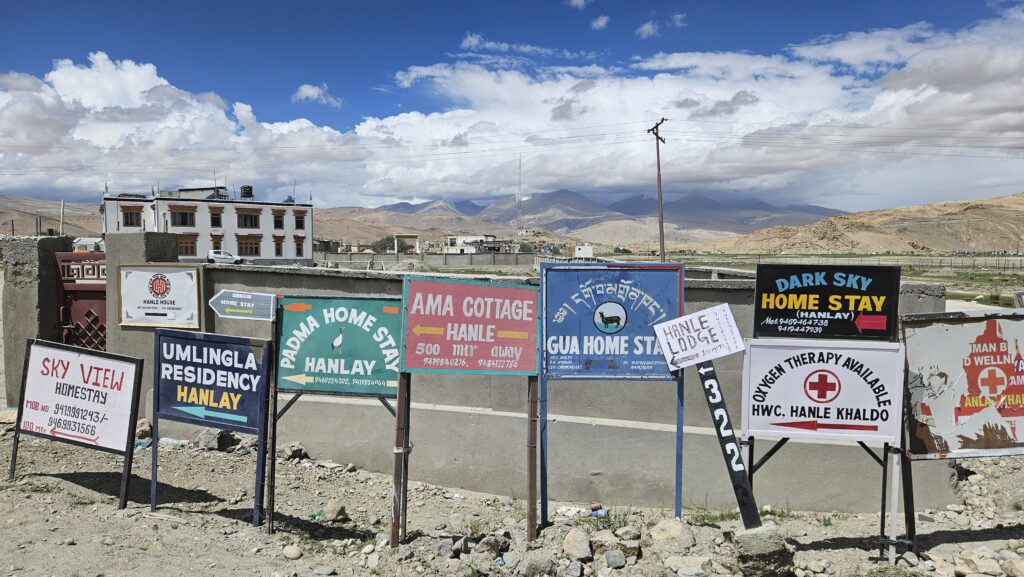
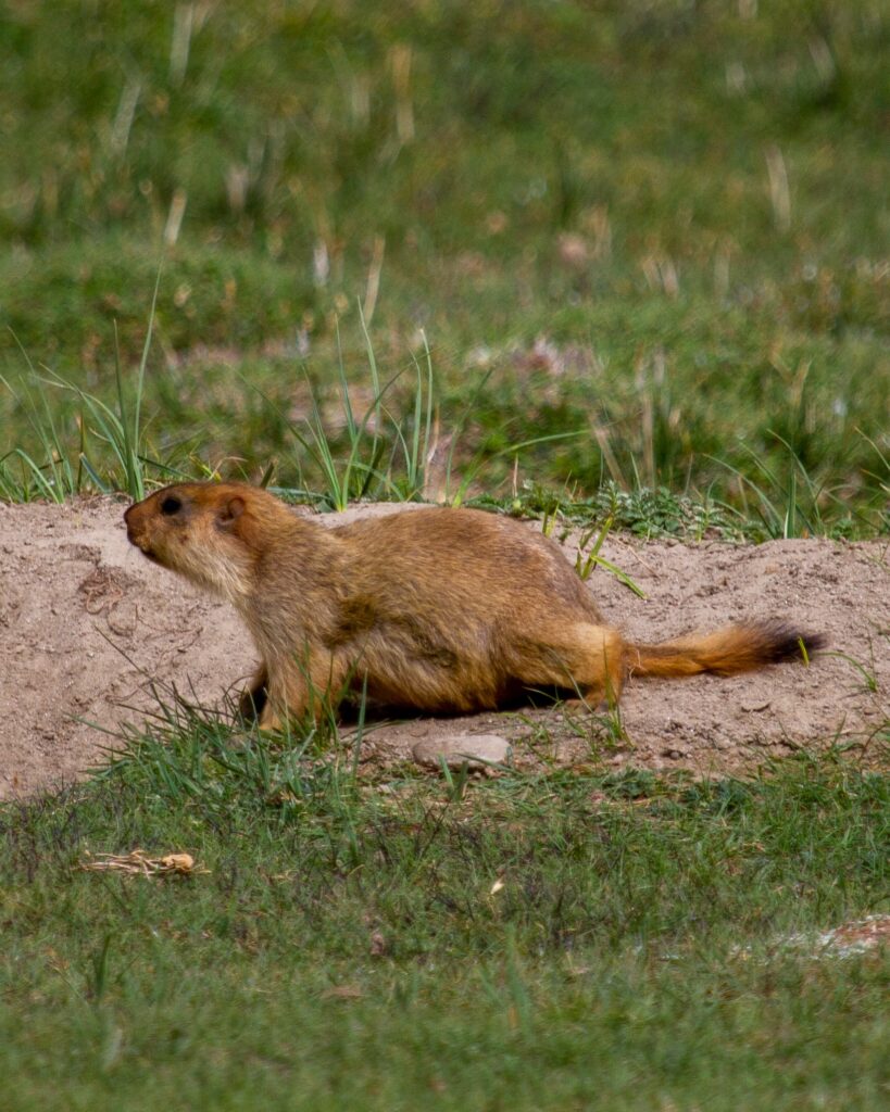
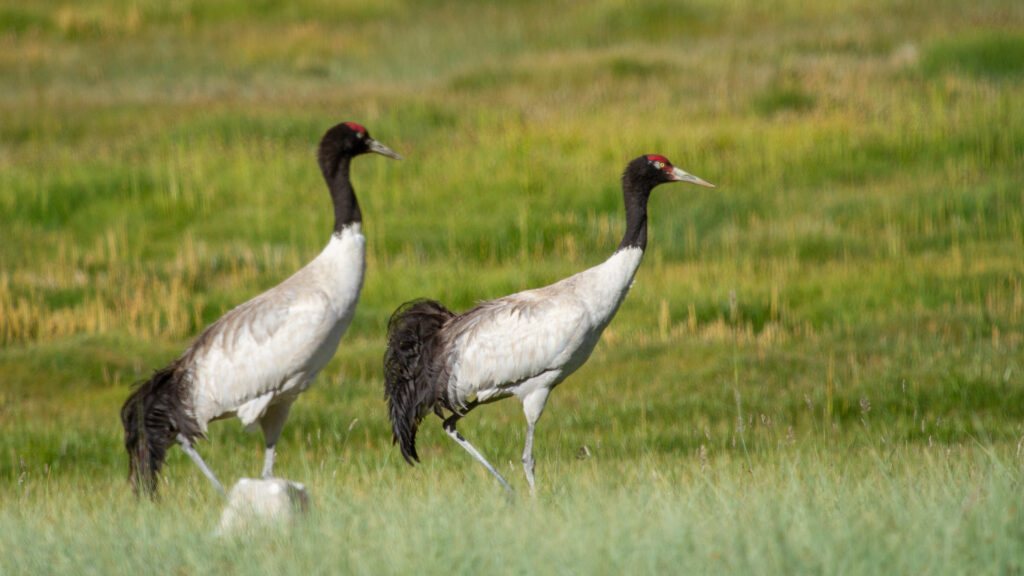
Hanle, which was once known only for the Indian Astronomical Observatory (IAO), is now fast gaining popularity amongst tourists for diverse reasons like sighting of specific wildlife like Pallas’s cats, black necked cranes (BNCs), wild Kiangs and as a base for travelling to Umling La – the highest motorable pass at staggering 19,024 feet with a possibility to further visit Demchok, which is the last village right at the border between India and China where, Indus river enters Indian territory.
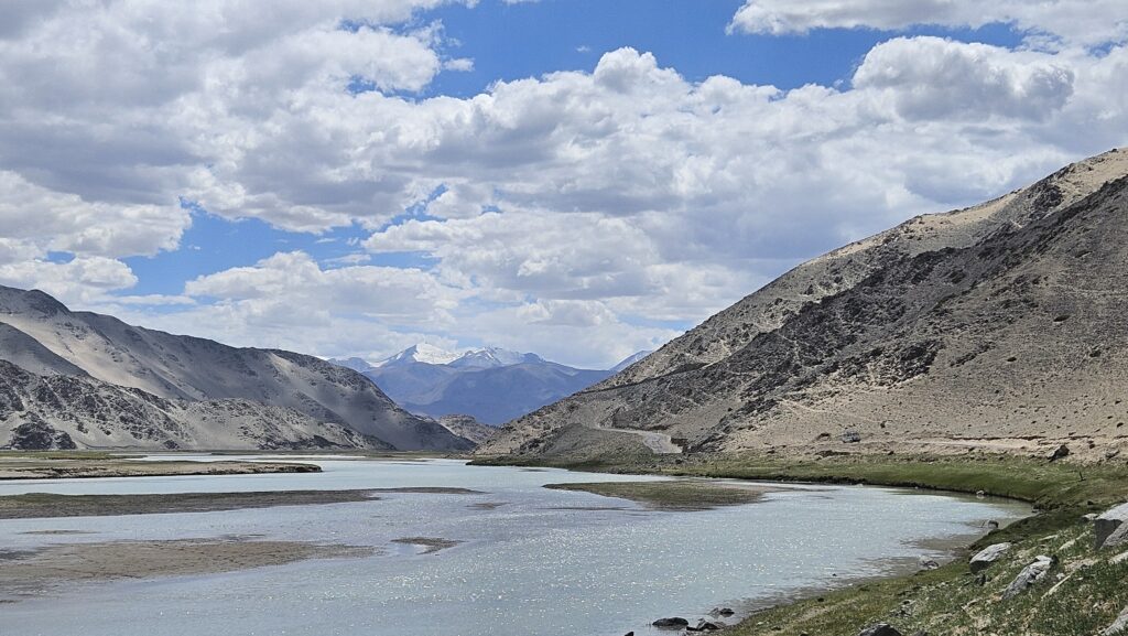
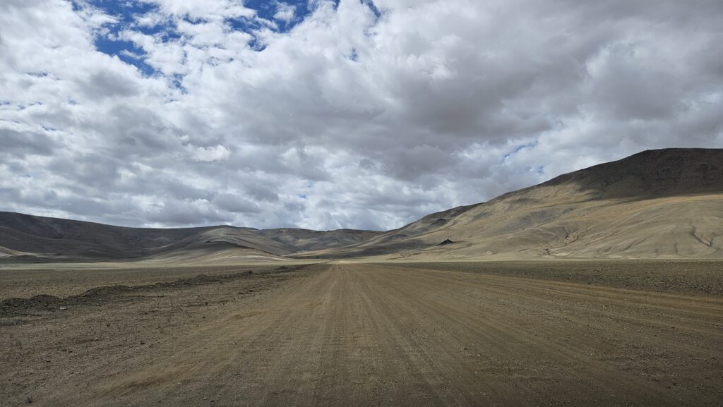
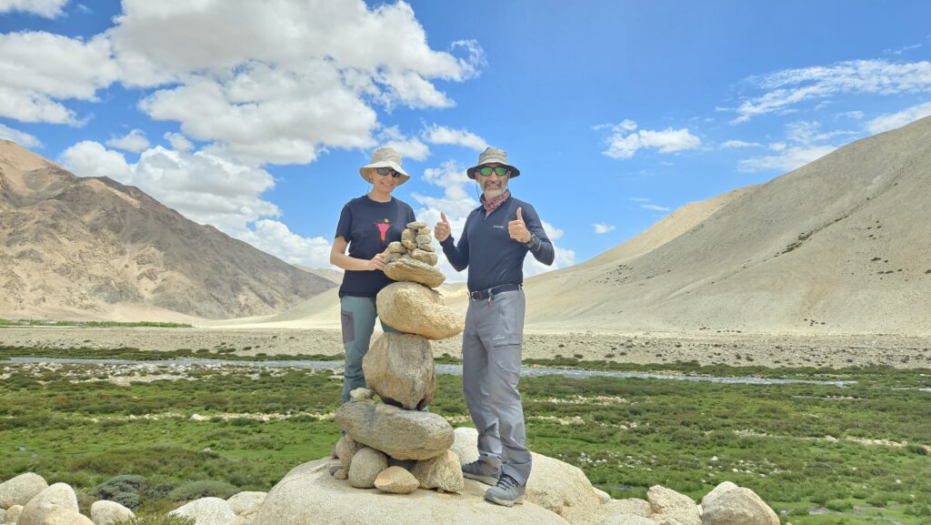
With so much to do, we had planned to stay at Hanle for three nights and we managed to see all that is mentioned above. Here are a few glimpses.
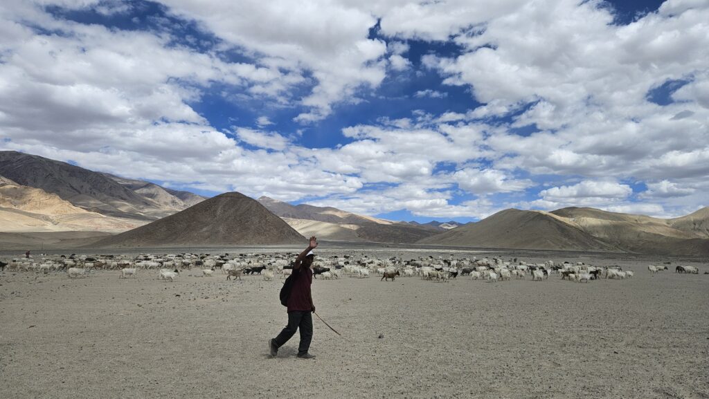
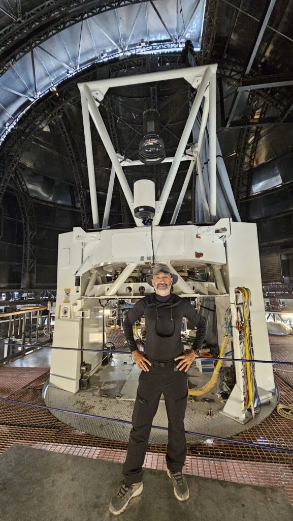
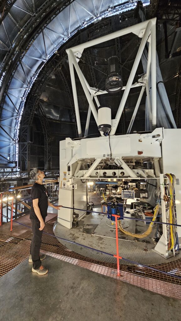
Now a little bit of special residents of Hanley valley.
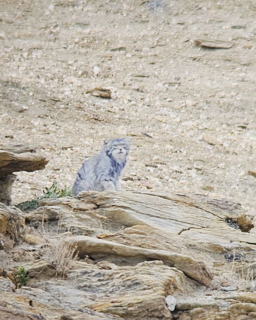
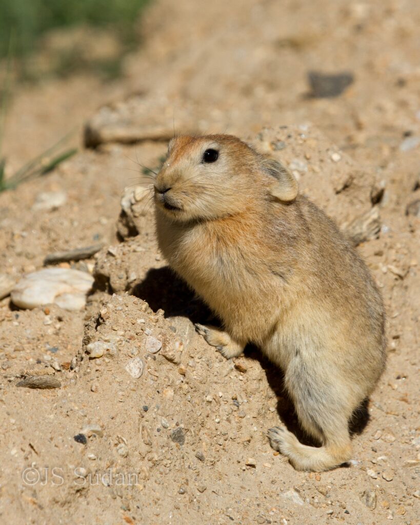
Day 11 & 12: Hanle – Tso Moriri
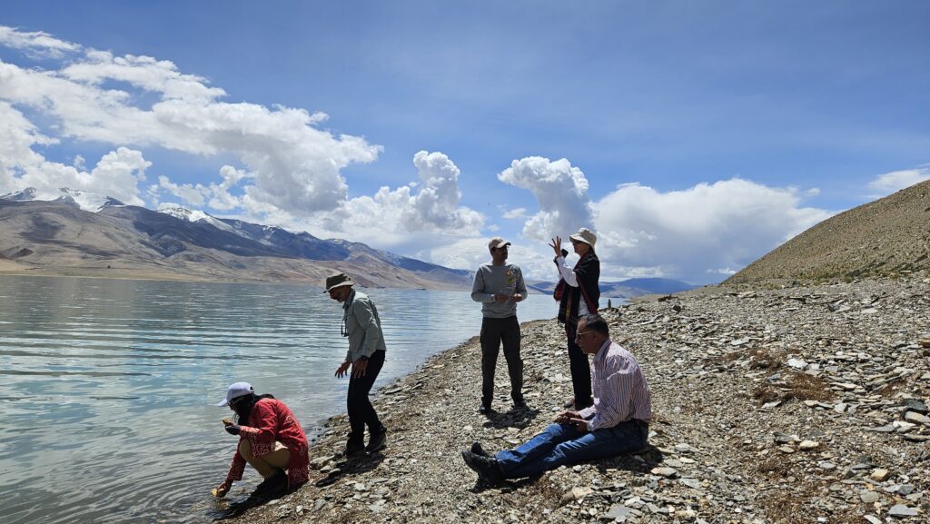
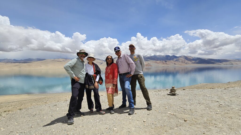
Tso Moriri is the second largest lake in the region and some claim it to be more beautiful than Pangong Tso. To my mind, both are exquisite and unmatched in their ever changing hues aided by the clouds. It was a great coincident to discover that one of our closest friends were also travelling on the same road to Tso Moriri. What an opportunity to meet after more than 8 years and exchange notes while skipping stones in the lakes enroute.
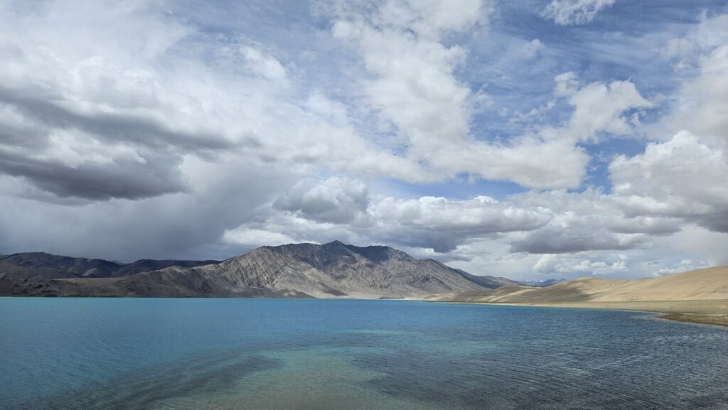
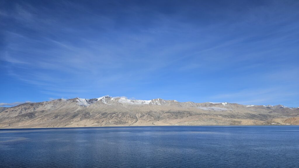
Though, village Karzok on the northwest shore has many options (Guesthouses) to stay.
Day 13 : Tso Moriri to Leh
After two quiet days in Tso Moriri, we set out to return to Leh via Tso Kar. Tso Kar was once famous for the sighting of Black Necked Cranes which used to breed in good numbers around this unique lake with large salt pans and wetland patches. The number of pairs have declined in last two decades to just about one or two pairs. We did not see any while crossing this time and even the locals did not have much to say.
We crossed many valleys and passes again and were super-stoked to see a huge heard of Blue Sheep grazing next to the road near Tanglang La.
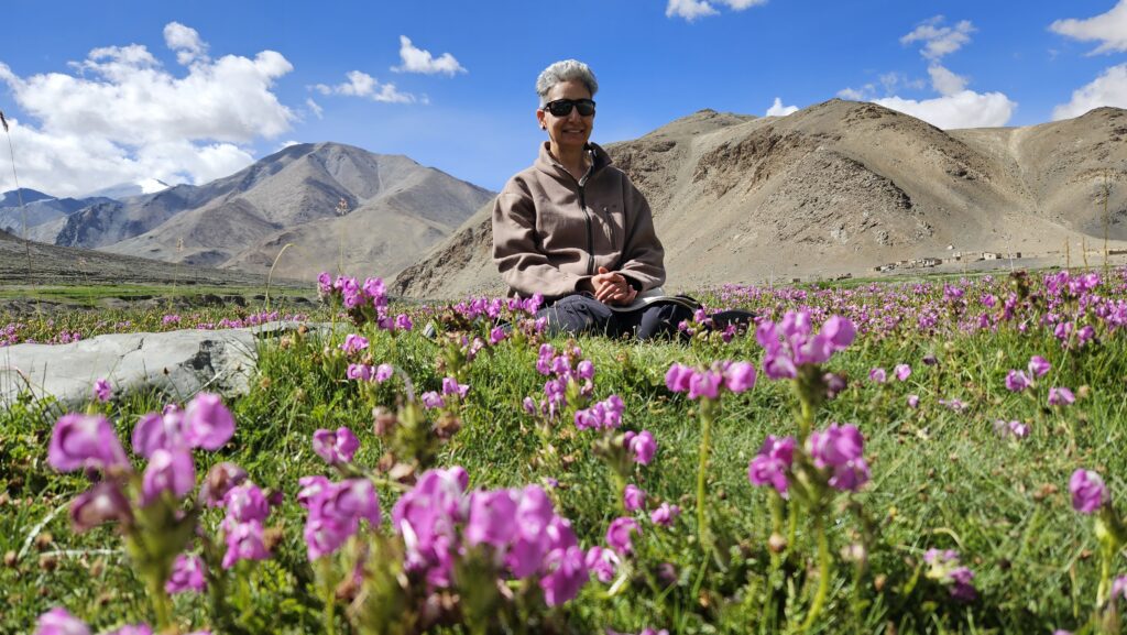
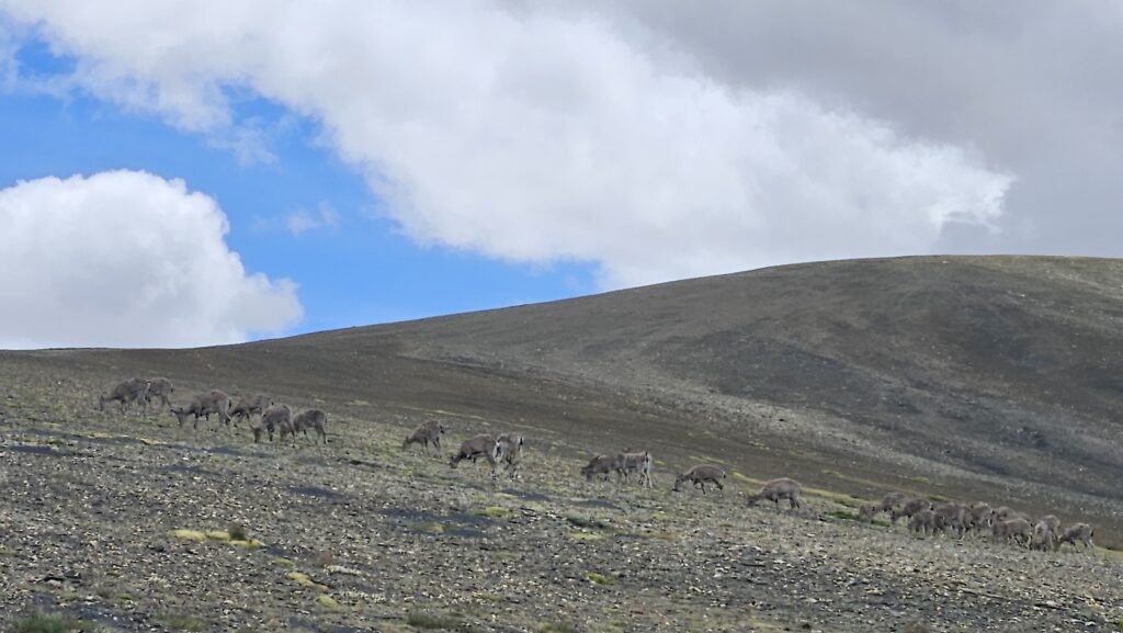
At Leh, we had the privilege of meeting with a lovely couple Dr. Raghu S Chundawat and Joanna Van Gruisen over lunch organised by Mr. Wangchuk.
Dr. Chundawat is a conservation biologist whose main areas of research have been snow leopards and tigers. His pioneering ten-year research on tigers took place in the Panna Tiger Reserve and has been documented in the BBC Natural World documentary, Tigers of the Emerald Forest. His book on the tigers of Panna – The Rise and Fall of the Emerald Tigers is seminal work in tiger conservation. As on date they manage a unique lodge ‘The Sarai at Torai‘ near Panna Tiger Reserve, Madhya Pradesh.
Listening to the interesting and inspiring anecdotes, challenges and success stories from all three stalwarts of wildlife excursions and research over snow leopards and tigers, I think was the best way to culminate of a beautiful 12 days trip in this mesmerizing land.
Day 14 : Leh to Jammu
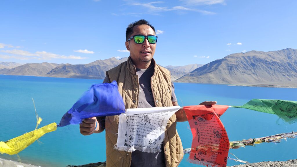
31 July, saw us pack our bags full of great memories and bid farewell to the lovely staff and Mr. Wangchuk at Hotel Ladakh Residency and head to the airport with our local chauffeur, friend and guide for last 12 days, Mr. Nurbu. We are grateful to his commitment and ever cheerful disposition which made the trip even more enjoyable and comfortable.
I am sure that these mountains and lovely people will beckon us for another visit, the only question is ‘when?’.
“We travel not to escape life, but for life not to escape us.” – Anonymous
